
Every signal.
One screen.
Aircraft, vessels, satellites, and breaking events — fused onto a single live map, scored for credibility, enriched by AI.
Free during beta · No credit card · 40+ live streams
Take signal, not noise. One interface, everything moving.
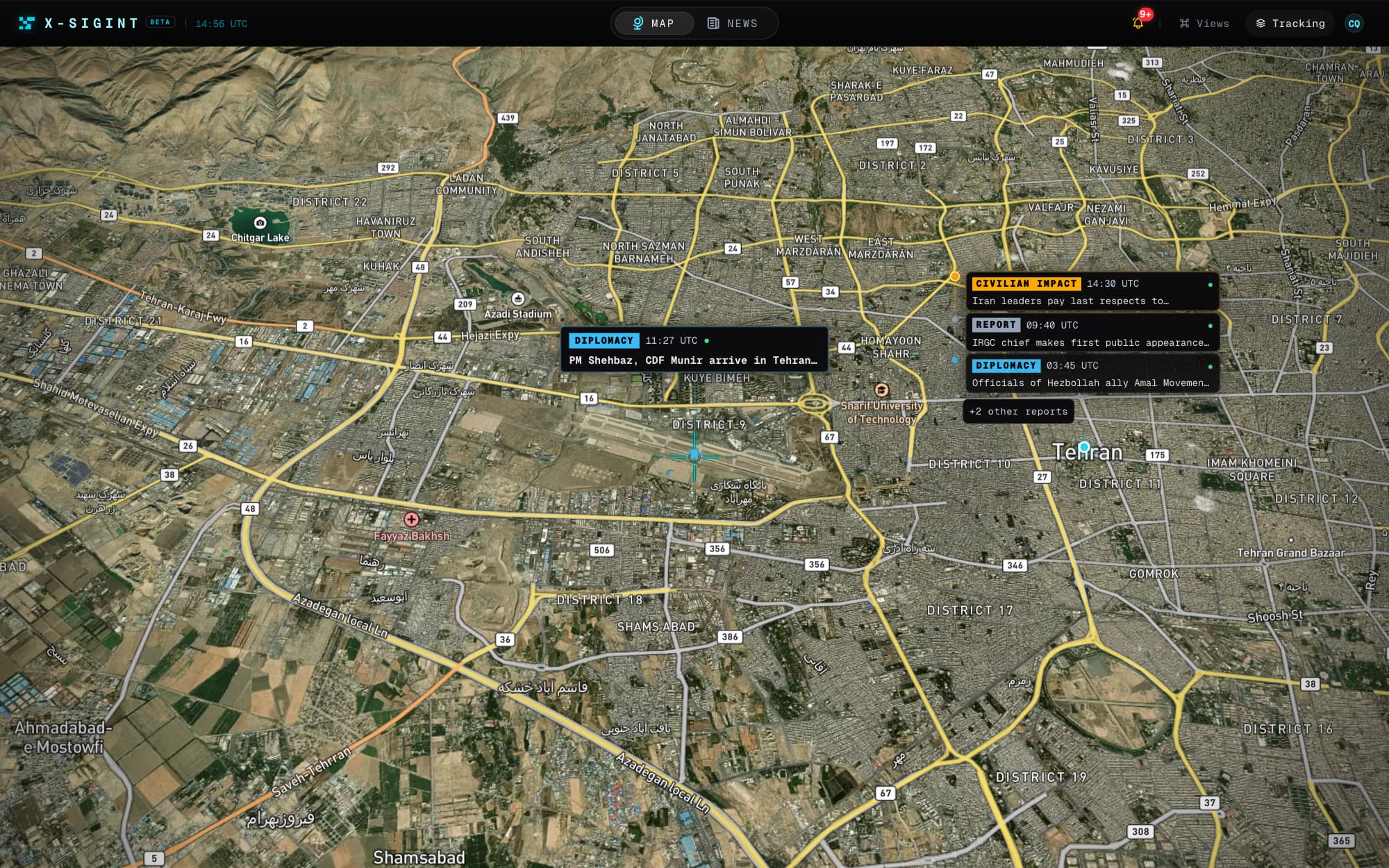
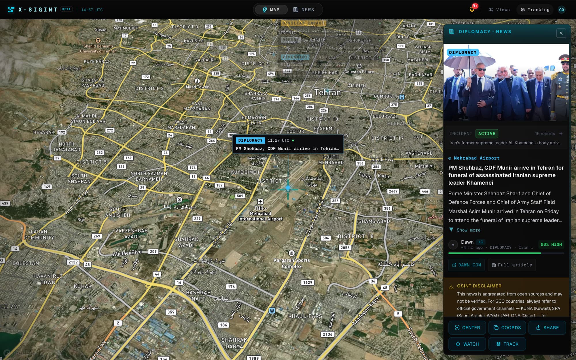
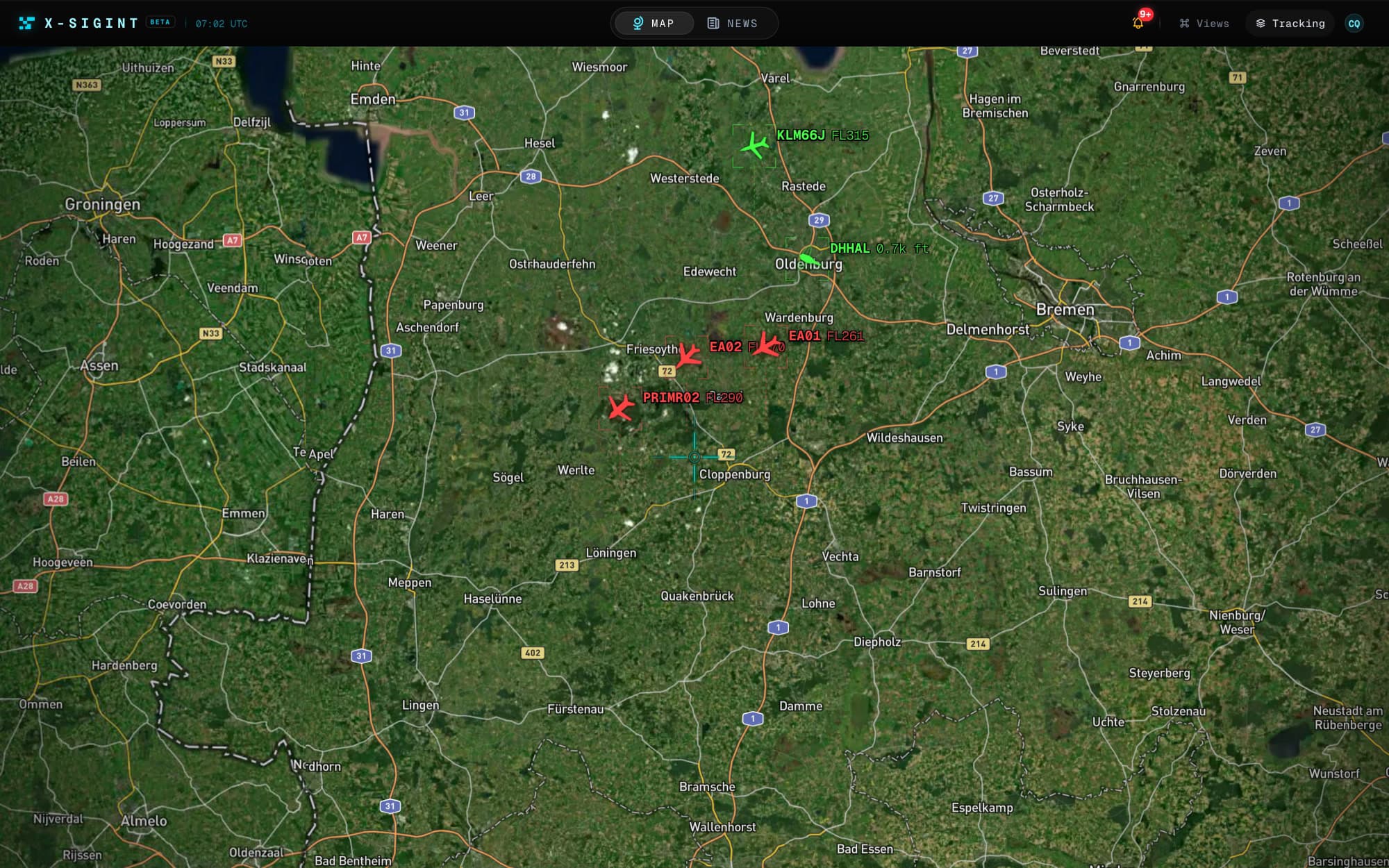
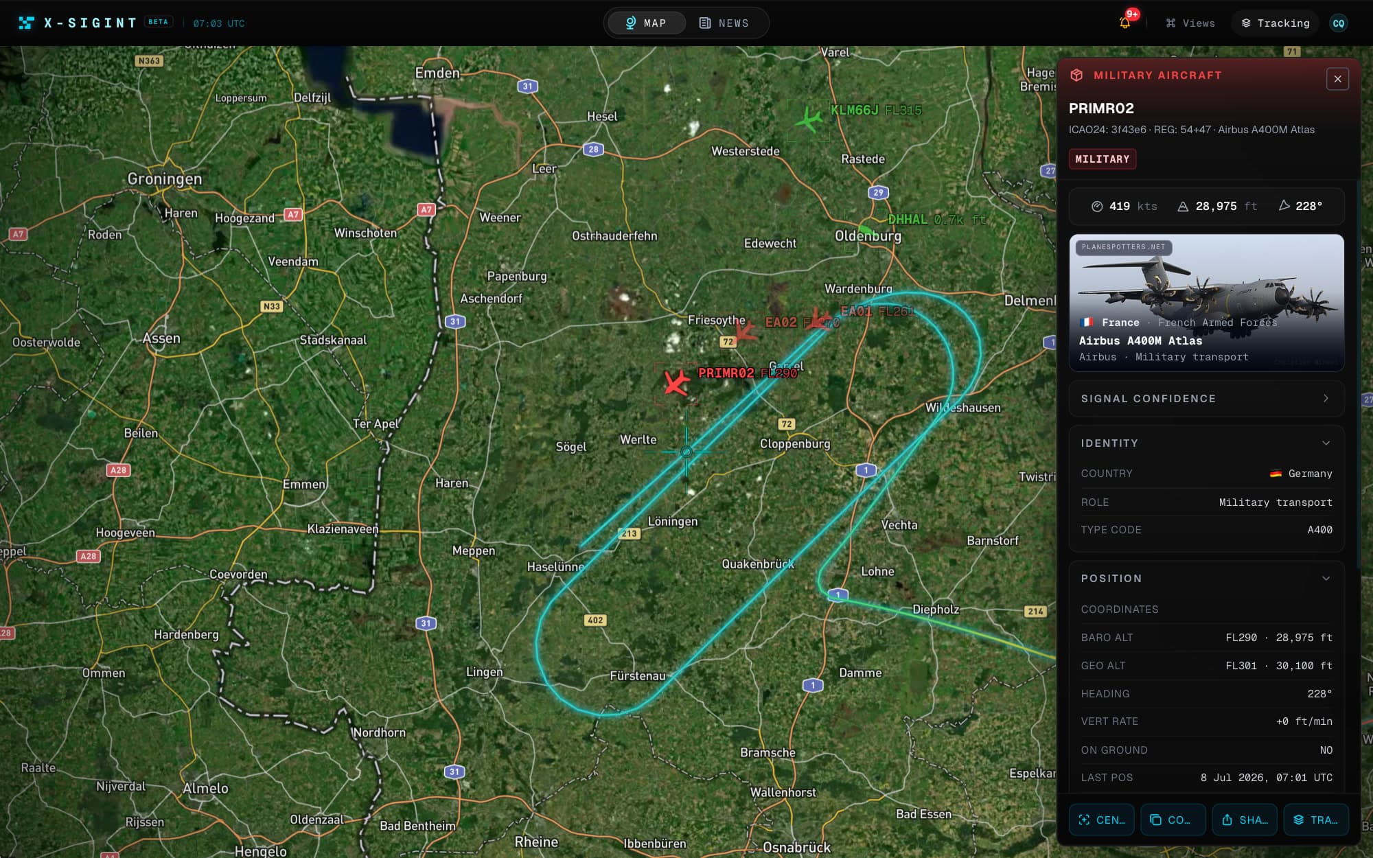
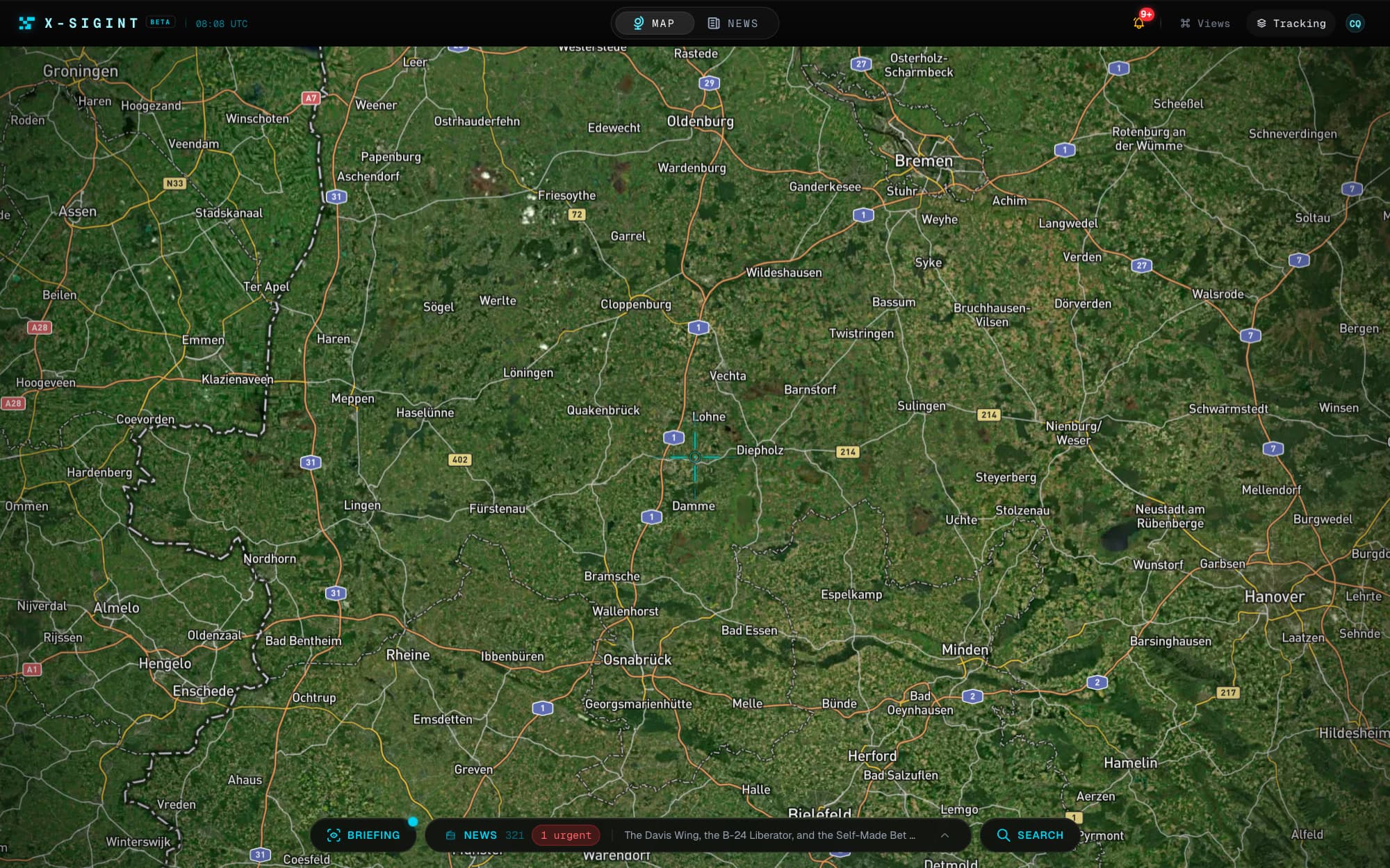
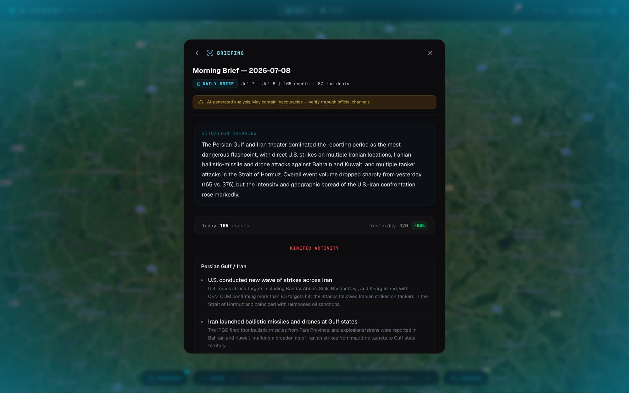
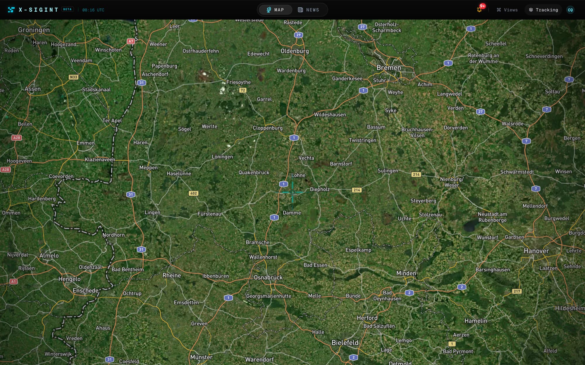
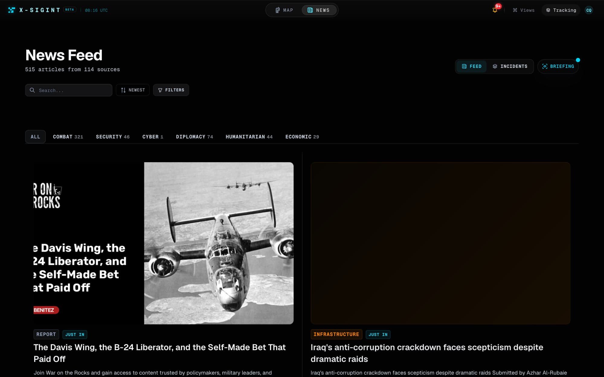
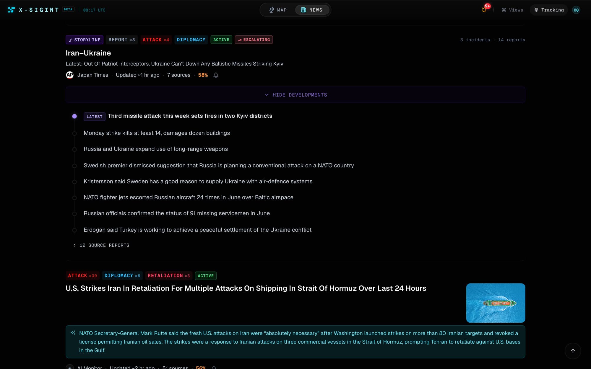
01/04Click a marker. The report opens with its sources, confidence grading, and the incident thread it belongs to.
Reports arrive as rumors.
They reach you as intelligence.
Forty-plus streams of raw chatter get graded for credibility, claim-checked against their sources, and clustered into incidents by AI — before anything earns a place on your map.
Frontline OSINT
Telegram · 09:00Z
‼️ URGENT — explosions reported near Lukianivka. Videos circulating, numbers all over the place…
Reuters
Wire · 09:01Z
BREAKING: Explosions heard in Kyiv's Lukianivka district; cause unclear.
City Administration ✓
Official · 09:02Z
Air defense engaged over the district. Residents are advised to remain in shelters.
Missile strike reported in Lukianivka district
No toll stated
Missile strike, Lukianivka district, Kyiv.
- Inconsistent
- Casualty figure — single source
Read from the source article
There's a layer for that. The markers you'll actually watch.
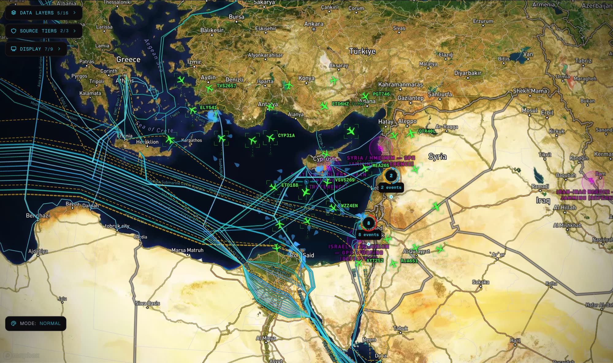
Live Flights
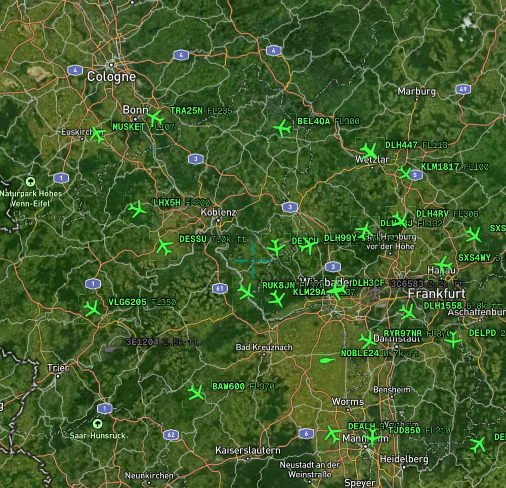
Every airliner and cargo hull aloft — quick-filter by type, country, and altitude.
Military Flights
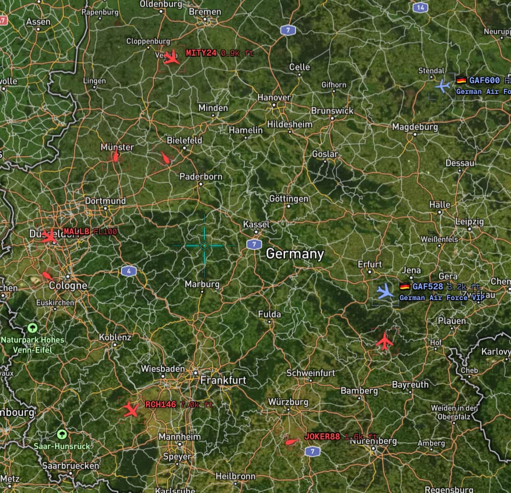
Transports, tankers, and ISR platforms with operator country and emergency squawks.
Maritime Vessels
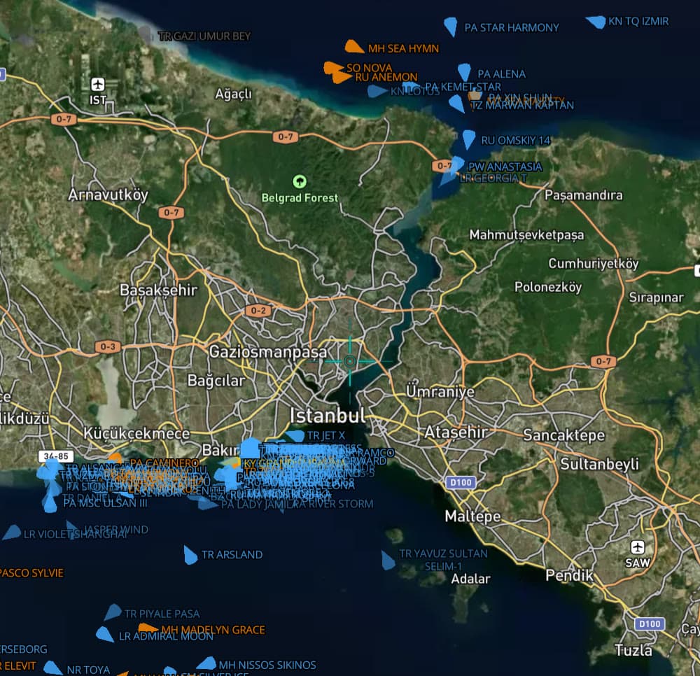
Global AIS with chokepoint views, dark-fleet flags, and sanction badges.
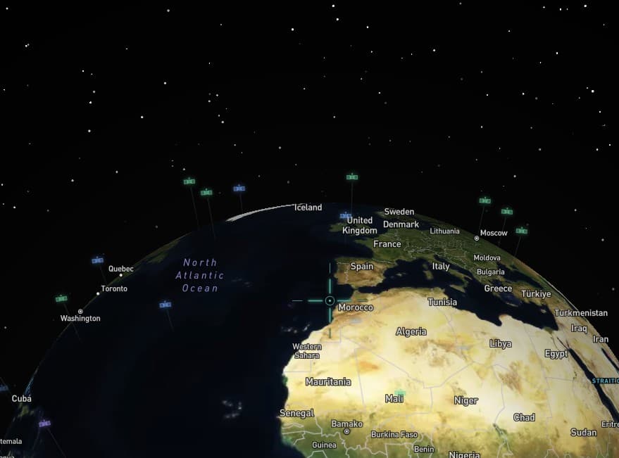
Satellites
Military, navigation, and comms birds gliding on their real orbital tracks.
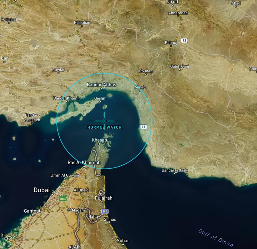
Zone Alerts
Draw a circle anywhere — get paged when anything shows up inside it.
16 layers total — see the full reference →
What else can X-SIGINT do? It can page you. Track tankers through Hormuz. Replay yesterday's airspace. Cluster forty reports into one incident. Flag the sanctioned hull in the queue. Watch a satellite's ground track. Brief you at 07:00. Deep-link a colleague to the exact marker. And much, much more.
News signals, tracked targets, zone entries — delivered in-app, by push, email, or webhook. Learn more
Military aircraft entered the zone
Built for watchers like you.
Different desks, same picture.
 East Med
The Journalist
Watches a story assemble itself — forty streams clustered into one incident thread, every claim tagged with the tier of the source that made it.
06:40 · incident threads over coffee
Maritime Ops
Draws a zone on Bab el-Mandeb before the morning routing call. If the queue moves or a sanctioned hull shows up, the phone buzzes first.
05:30 · chokepoint queues before routing
The Planespotter
Filters the sky down to tankers and heavies by operator country, then follows one trail across the map with the full dossier open.
21:15 · tanker tracks over the Gulf
The Analyst
Builds the operating picture once, saves it as a workspace, and lets the daily digest carry the overnight delta into the first coffee.
07:00 · daily brief in inbox
See it live.
The map is already moving. Full access to the feed, map, and tracking — free during beta.
Common questions
What is X-SIGINT?+
X-SIGINT is a real-time global monitoring platform that aggregates news from 40+ data streams, tracks aircraft and vessels worldwide, monitors conflict zones, and delivers alerts — all in a single dashboard.
What data sources do you use?+
We aggregate from Reuters, AP, BBC, Al Jazeera, and 30+ other global outlets, plus Telegram channels, GDELT event data, ADS-B aircraft feeds, AIS maritime data, siren alert systems, and satellite imagery from Copernicus.
Is X-SIGINT accurate?+
Every event is assigned a confidence score and source tier (Official, Media, or Open Source). We clearly label unverified sources and recommend cross-referencing before acting on any report.
What regions do you cover?+
X-SIGINT provides global coverage — aircraft, vessels, and events are tracked worldwide. Our data sources span every continent, with particularly deep coverage in areas of active geopolitical significance.
How does the Free plan work?+
The Free plan gives you full access to the news feed, interactive map, aircraft and vessel positions, alert feeds, and monitoring. Paid plans will add live tracking with trails, real-time alerts, AI analysis, and satellite imagery.
More questions? support@x-sigint.com